What’s in a Name? Nantwich Streets Explored: Swine Market
Some parts of Nantwich have changed very little over the centuries. You would probably be able to find your way around the centre perfectly well if you were transported back in time a few hundred years. Other parts though are totaly unrecogonisable today compared to how they used to be. Swinemarket is a good example of this. The 1960’s town planners really got hold of this area and, for better or worse, redeveloped it. The neighbourhood that was cleared is now only remembered by the ancient names that are we still use.
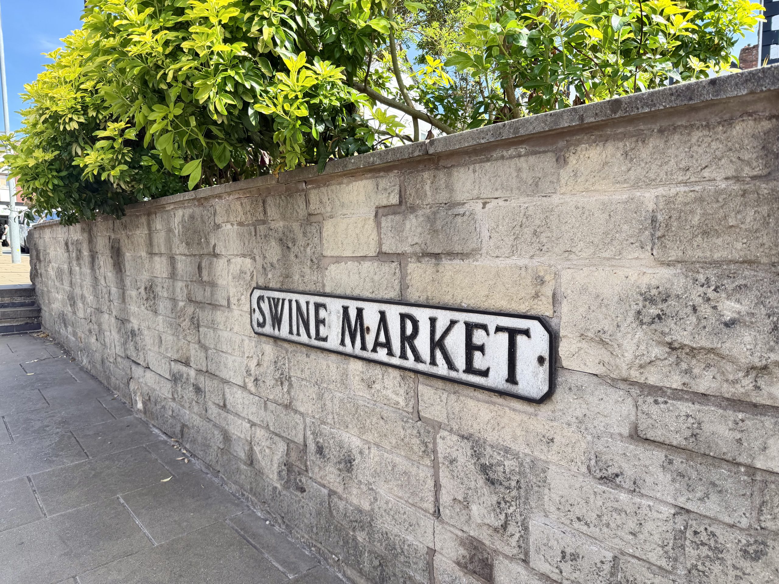
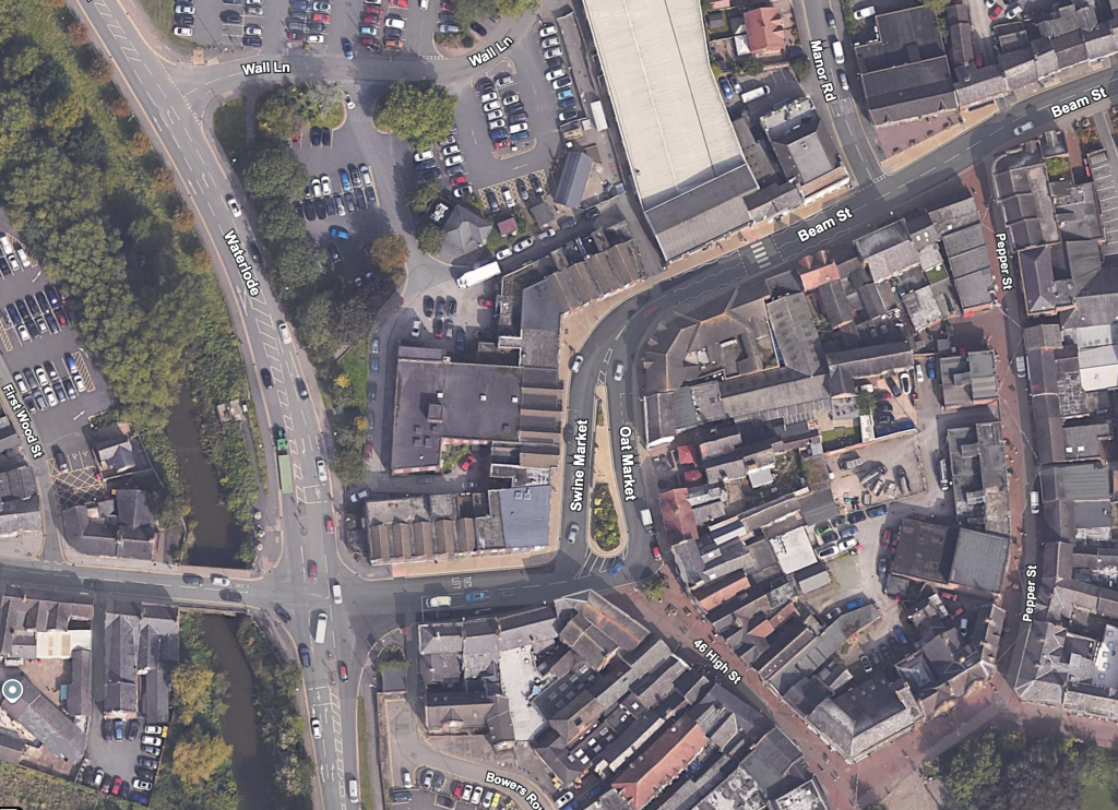
Medieval Nantwich was a hive of industrial activity owing to the presence of brine springs from which salt could be extracted through a process of heating the brine to evaporate the water leaving behind the salt crystals. The salt industry at this time was centred on both sides of the Weaver to the north of the town bridge. On the east bank a new road was created called Snow Hill which would eventually become the name of the wider area. From here another road was constructed known as Beam Street to link the salt industry with the vital source of fire wood at Alvaston. Swine Market was laid down to link the existing streets to the south to the new Beam Street and the industrial area.
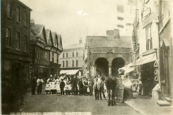
Swine Market, as the name suggests, was the place which became associated with the buying and selling of pigs. Other streets in Nantwich had specialisations like this such as the adjacent Oat Market but other, now unused, street names are also recorded. The ‘Beast Market’ which was just around the corner on the west end of Beam Street was associated with the sale of cattle. Various places are recorded as ‘The Shambles’, the area where butchers would be based. I suppose the modern equivalent of this is where car dealerships all seem operate in the same part of a town!
The historian James Hall mentions Swine Market in relation to the fire of 1583:
Waterlode, that is, the road leading to the fordable part of the river, was the lane where the great fire of 1583 began, which destroyed, amongst other streets, Swine Market, the Beast Market (the west end of Beam Street) and Love Lane, afterwards named Corn Market, and now Oat Market. These, from their central positions, must have been very old streets…
– James Hall, 1883
The salt industry eventually declined and the last salt house closed in 1856. Snow Hill area including Swine Market would become a less industrual neighbourhood giving over to homes and businesses.
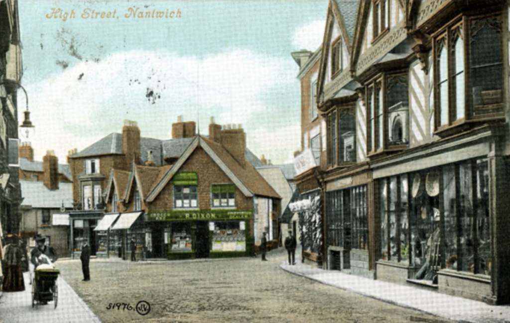
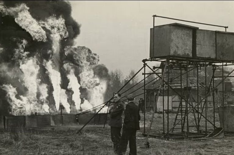
Hall also mentions another fire here in July 1868 which started from sparks from a blacksmiths and spread to the thatched roofs of nearby buildings. The fire spread along Swine Market and within a short time would destroy six houses, four stables and the blacksmiths shop as well as damaging five other houses before being brought under control. This incident led to the creation of the first volunteer fire brigade in Nantwich.
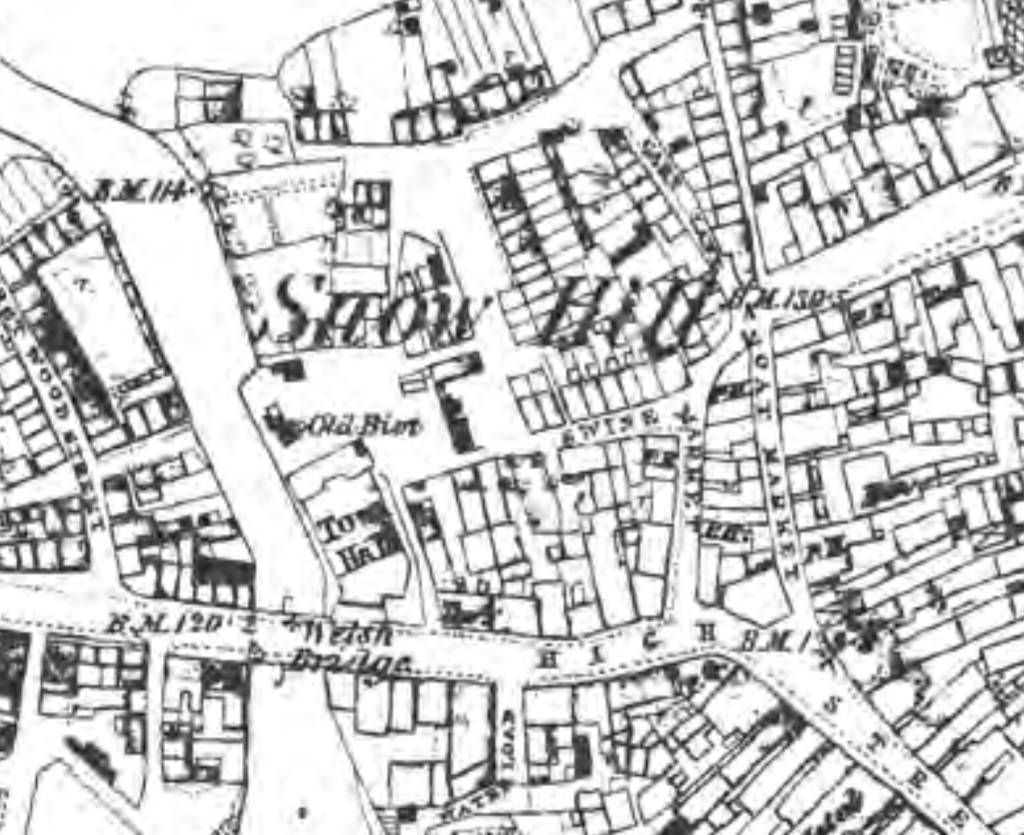
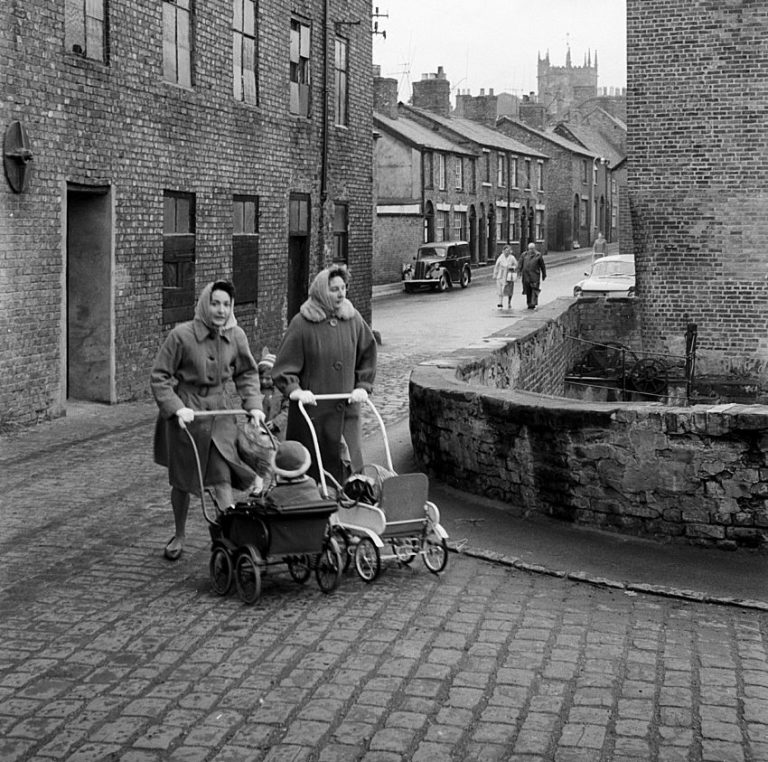
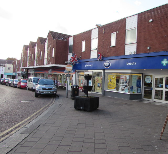
Swine market and Snowhill would change forever following the 1960s redevelopment of the area. A new scheme would mean the demolition of most of Snow hill and the buildings on Swine Market, giving way to a new parade of shops and a supermarket as well as widened streets. This would prove to be a hot topic in Nantwich at the time. The increase in car ownership and the resulting traffic had made this part of town a bottle neck and clearly something needed to be done with the narrow maze of streets around this main thoroughfare but a large number of historic buildings were lost as a result. The design of the new buildings was, and still is, under public scrutiny.
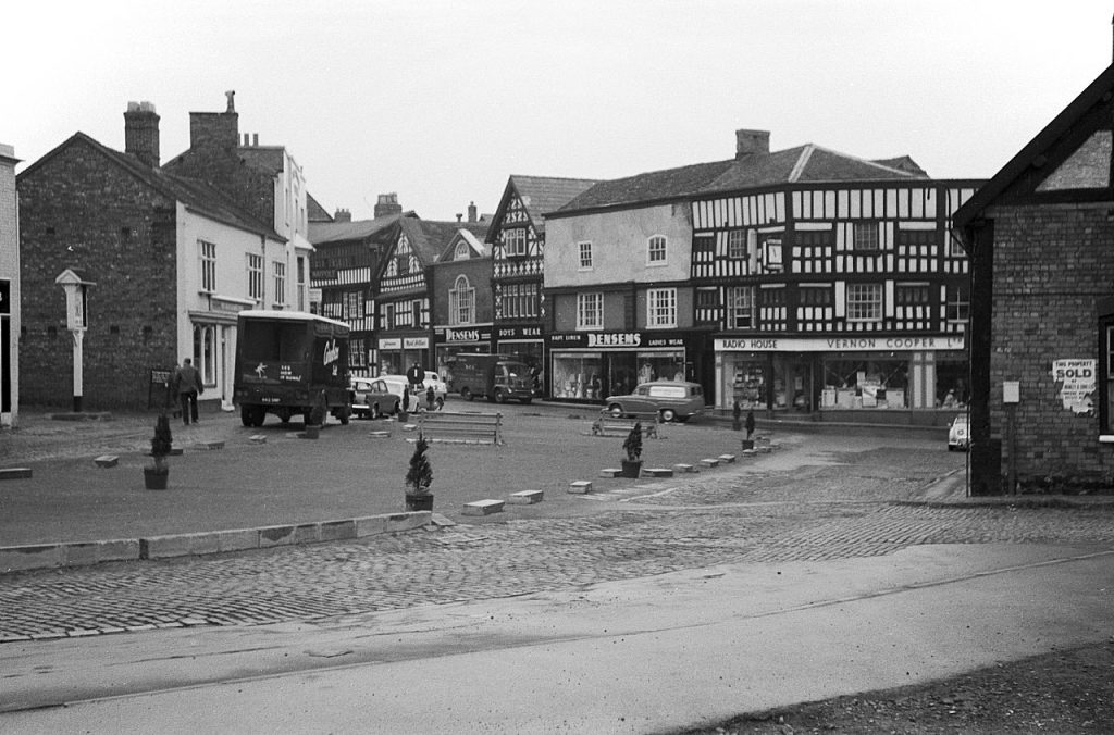
Oat Market and Swine Market, Nantwich – 1963 by Alan Murray-Rust, CC BY-SA 2.0, https://commons.wikimedia.org/w/index.php?curid=150282930
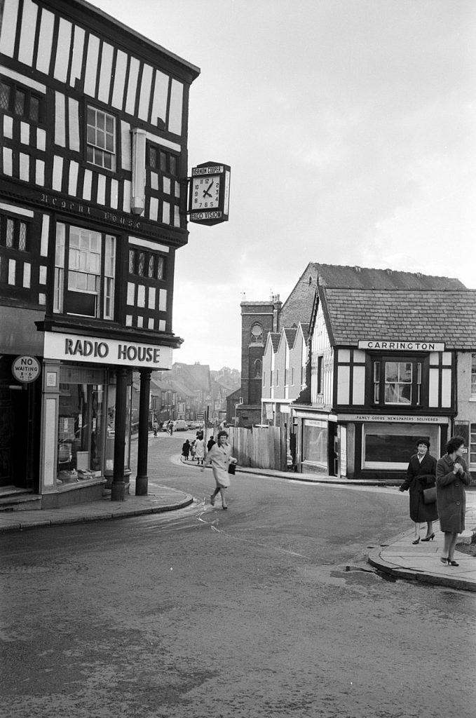
Read more about Nantwich Street names here.
Bibliography
Bernie Strawson, 2022. -The Making of Nantwich in Six Maps. Nantwich Museum.
Andrew Lamberton & Robin Gray, 2005. Lost Houses in Nantwich.
James Hall, 1883 – A history of the town and parish of Nantwich, or Wich-Malbank, in the county palatine of Chester.