What’s in a Name? Nantwich Streets Explored: Castle Street
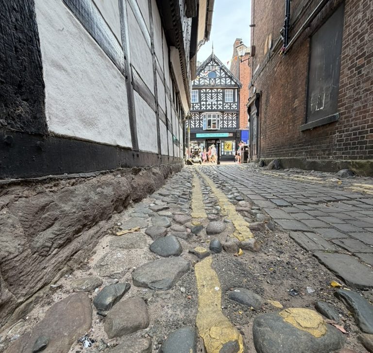
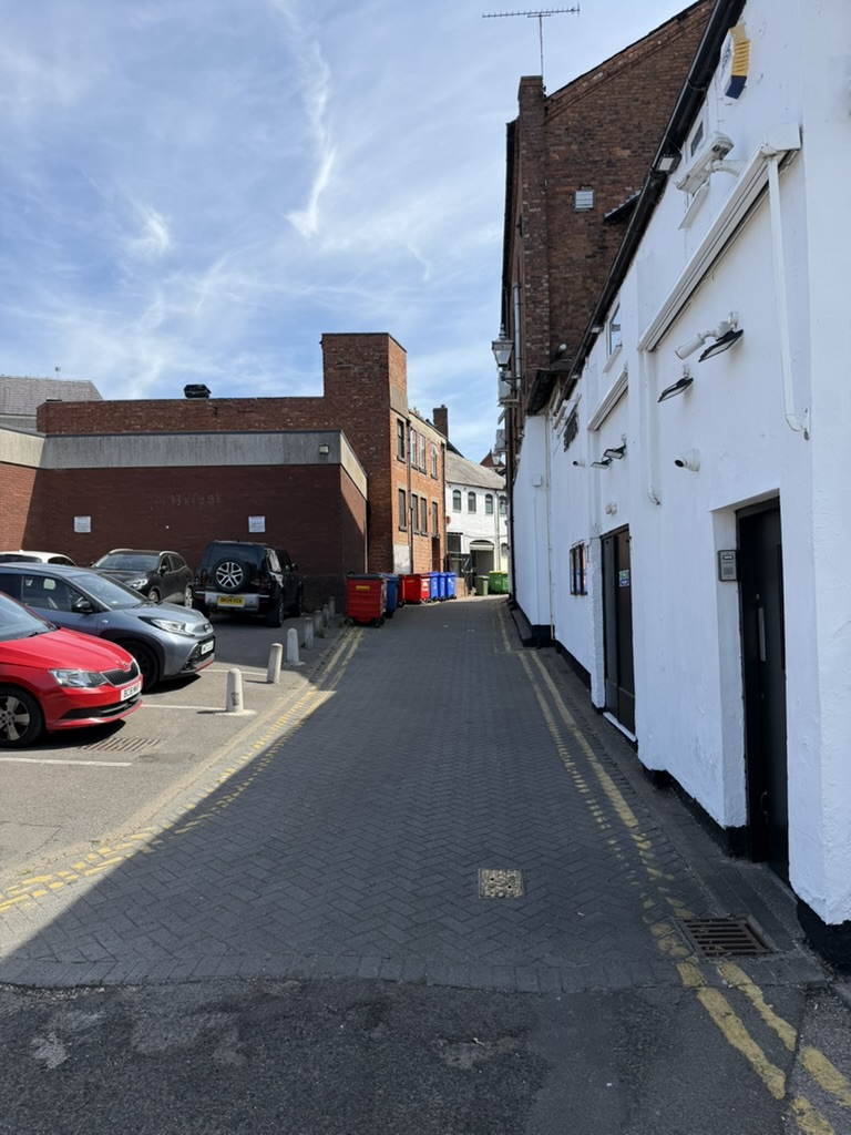
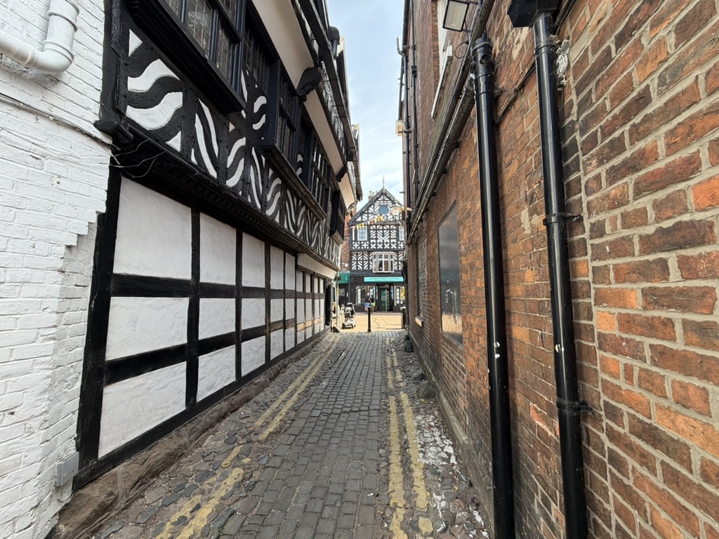
Whilst it may look like just another side street in the centre of town, a great deal of the town’s development can be traced by examining this unassuming alleyway. I suspect that many of you will have hazy memories of walking up this street in the early house (perhaps a bit worse for wear!) after a night out at Greggs.
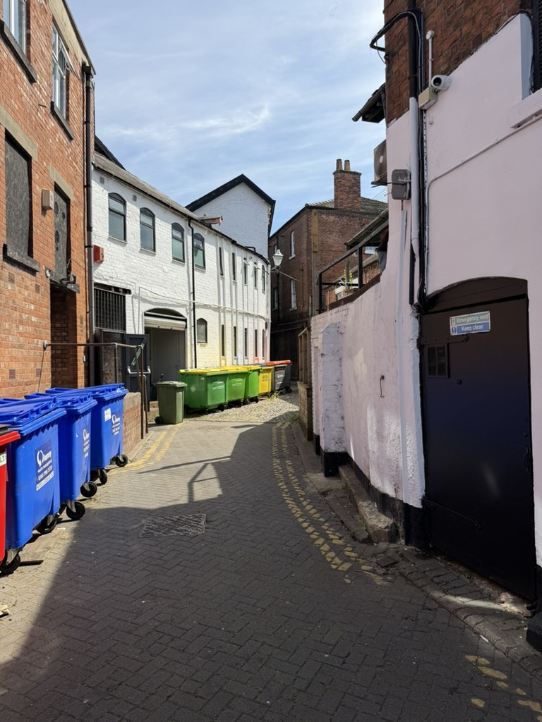
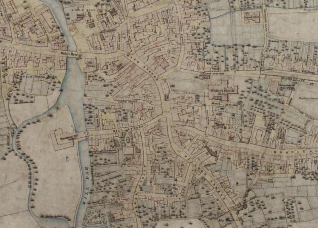
You’ve probably already guessed where the name comes from; a Norman castle stood nearby, now lost to time, on this slightly elevated position to guard the river crossing. Its exact position is not known but it thought that the boundaries were High Street to the North and East, Mill Street to the South and the River to the West. As you can see on the plan below, the streets in the area have been set out around the castle as the town grew.
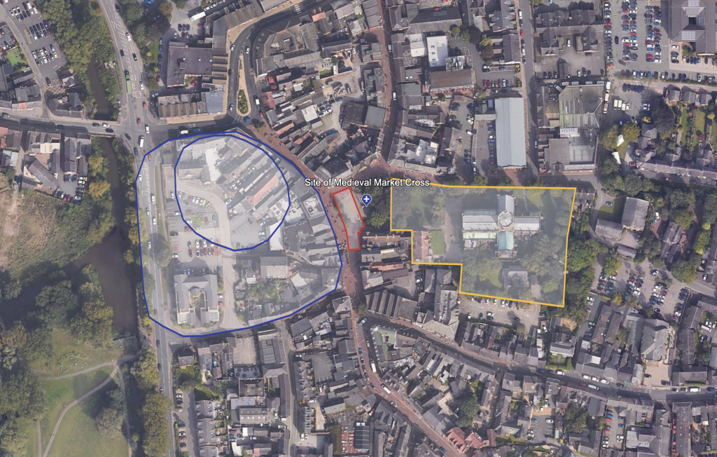
Nothing of the castle remains above ground but archaeologists have found evidence of ditches and the Motte mound as well as a drawbridge. Very little is known about the structure itself. No evidence has been found of stone so the castle could have been made from timber or perhaps the stone was used on other buildings when the castle was abandoned or maybe the stone just hasn’t been uncovered yet.
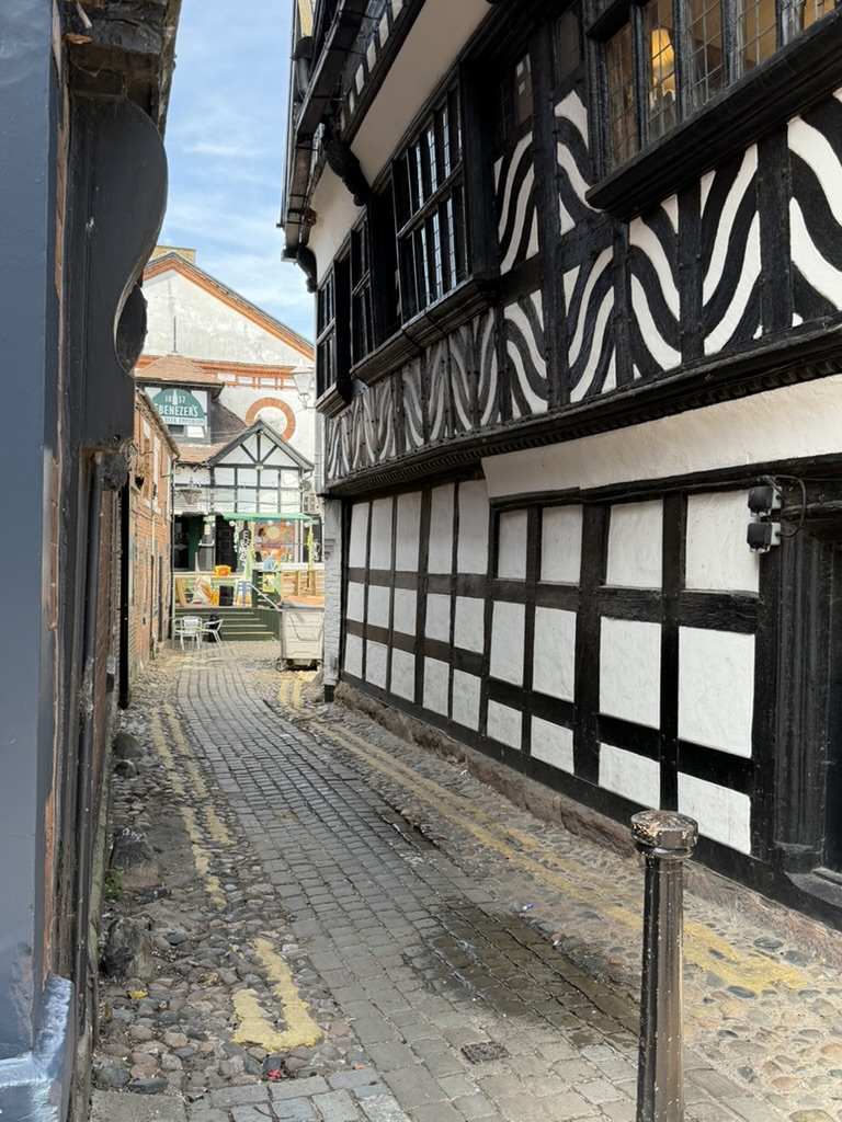
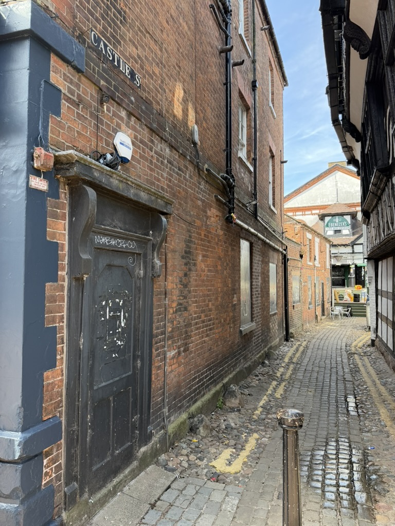
The castle was in ruins by 1485 but Castle Street itself is commonly said to be first mentioned in 1489 as Castle Lane. The street passes through where the outer walls of the castle bailey had once been suggesting that the castle was probably diminished in size possibly only the motte and tower still standing. The fire of 1583 destroyed this part of town and most of the old timber framed buildings that we see today are from this period as the town rebuilt after the disaster. The book shop on the corner of Castle Street is a good example of this.
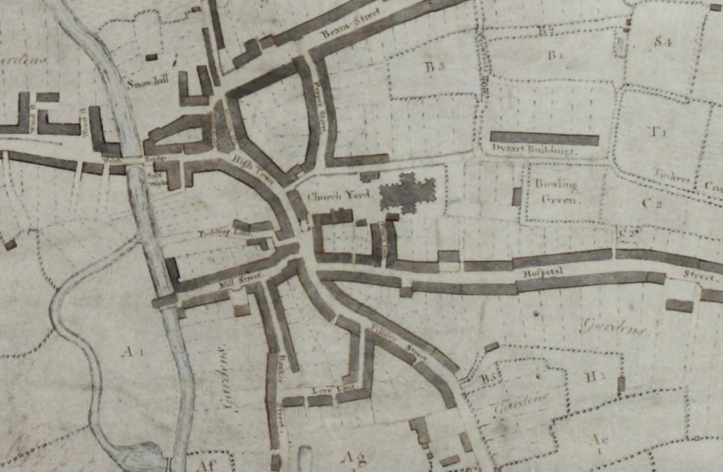
At some point the name was changed to Pudding Lane for a time as shown on this map from 1794. Puddings were an old word for offal and there are records of a slaughterhouse here so presumably that is where the name came from.
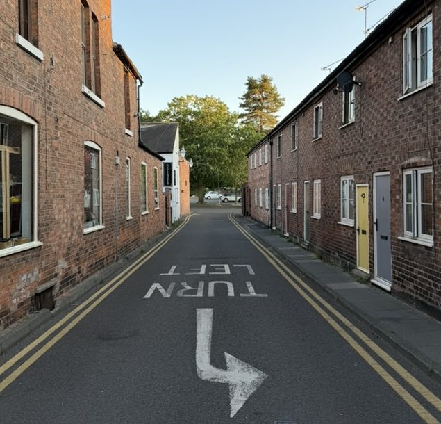
By 1851 the castle name was back, this time as Castle Street.
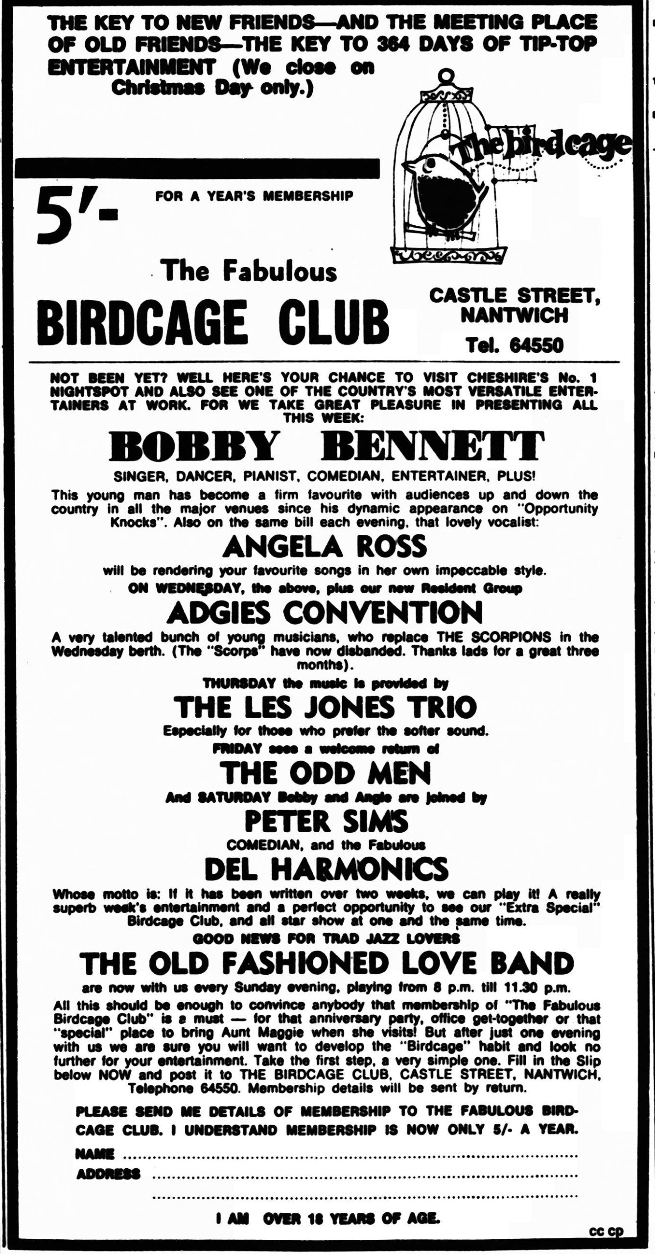
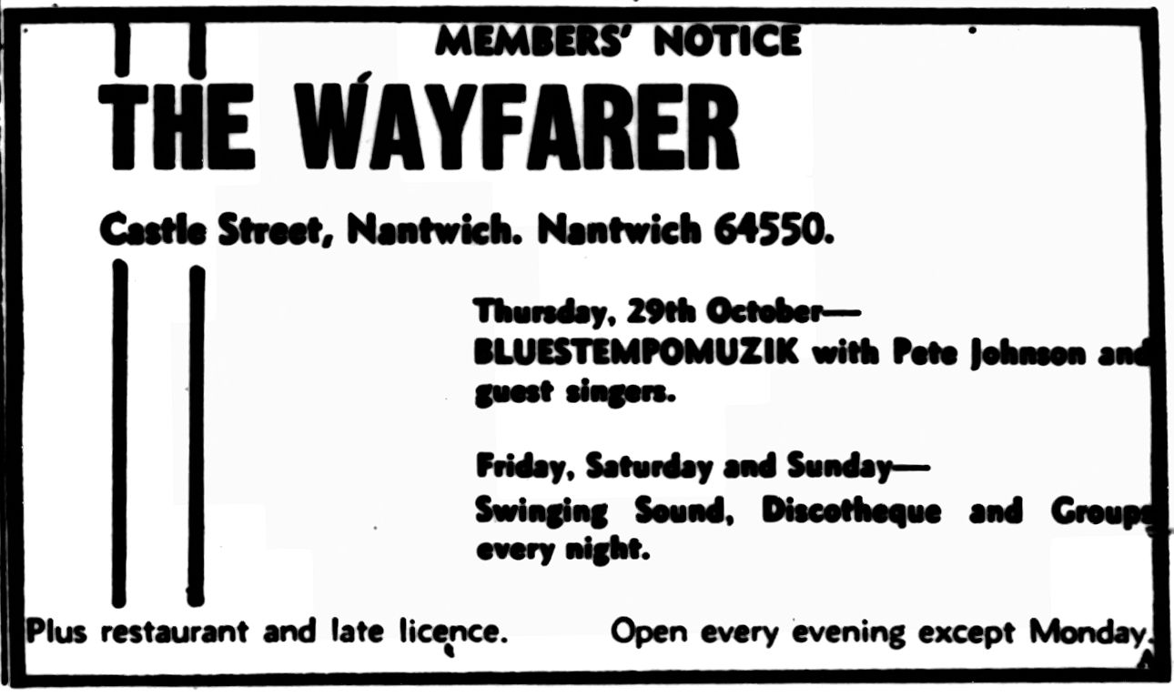
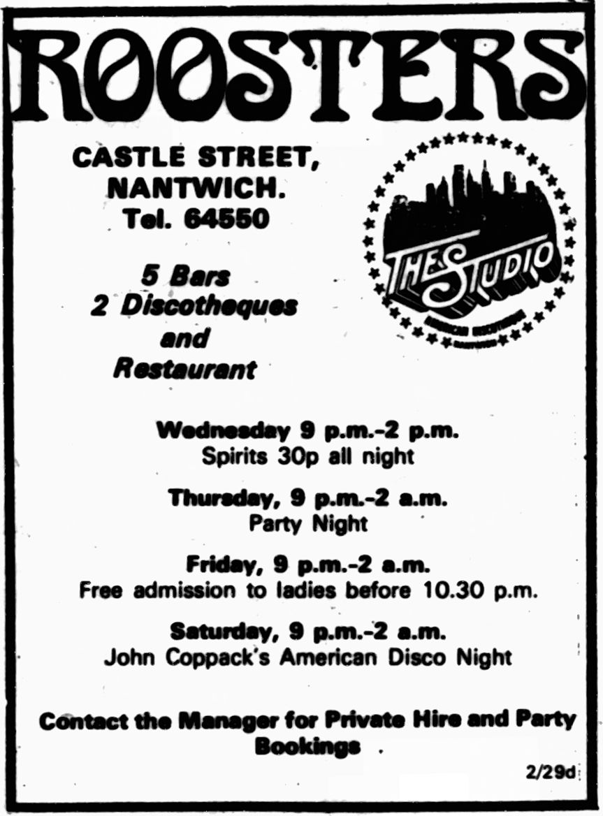
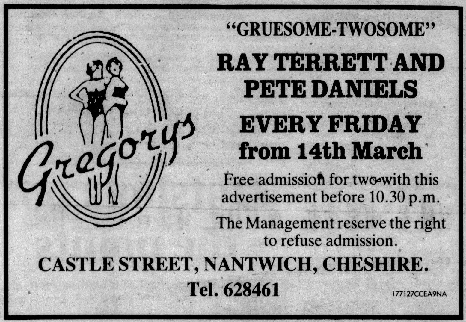
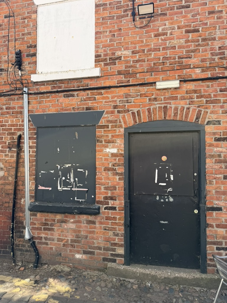
In 1857 a large house was demolished to make way for Ebenezer Chapel which was built in its place. After the church moved premises the building became a cinema and then in 1968 The Birdcage nightclub. Its name changed several times over the years becoming known as The Wayfarer’s Club, Roosters, Gregorys’ and The Studio.
Read more about Nantwich Street Names here.
Bibliography
Bernie Strawson, 2022. -The Making of Nantwich in Six Maps. Nantwich Museum.
Jane Stevenson – Nantwich, A Brief History & Guide. Nantwich Museum.
Andrew Lamberton & Robin Gray, 2005. Lost Houses in Nantwich.
https://en.wikipedia.org/wiki/Nantwich_Castle
James Hall, 1883 – A history of the town and parish of Nantwich, or Wich-Malbank, in the county palatine of Chester.
Please see also:
https://sites.google.com/site/charlesfaireyhistorian/publications/interesting-building-stones-of-nantwich
‘Interesting building stones of Nantwich: are they from the Norman Castle or other structures?’
A Project by Charles E S Fairey
Date: October 2020 – September 2021 (Revised June 2025)
Format: A4 Landscape, Colour & Greyscale, 108 Pages